This series of rides are kind of like my Lego blocks for daily riding in Seattle. Each portion on the map below offers something different:
[advanced_iframe securitykey=”3cba7a3f8dbf20e7955897b20644413fab8f38a2″ src=”https://ryan.georgi.cc/wp-content/maps/20171110130937-26065-map.html” width=auto height=400px]
Basic Lake Loop (7mi)

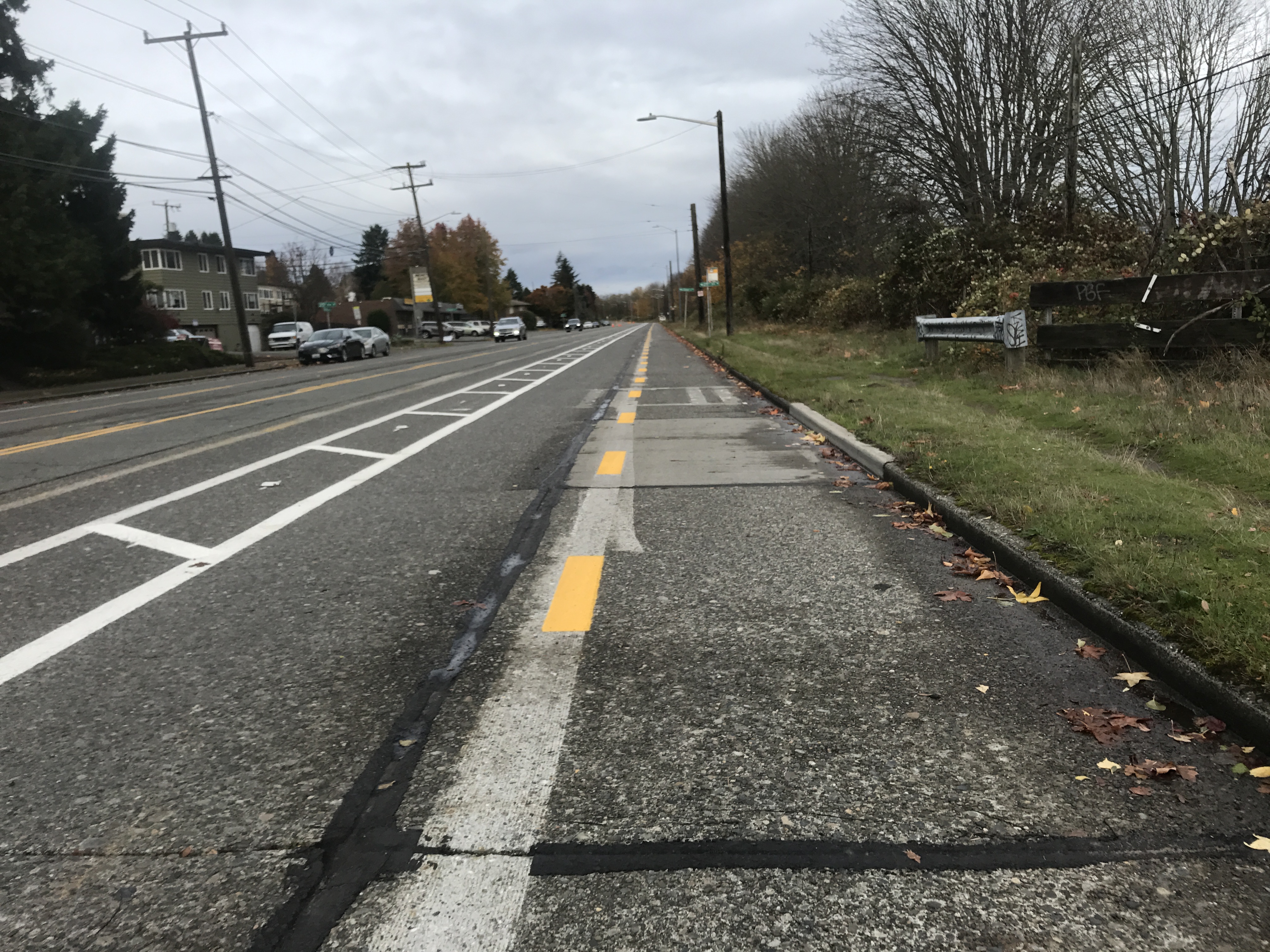
The basic loop around the shore of Lake Union is a fantastic ride for beginners, especially now that the Westlake Cycle Track is complete. Between this track and the Burke along the North of the Lake, around ⅔ of the whole route is flat, curb-separated, with quite nice pavement. The remaining ⅓, from South Lake Union to the University Bridge is a shared surface street with a bit of a climb, but as with many places in Seattle, the majority of the city’s bike infrastructure relies on less than ideal connectors between otherwise pristine bike infrastructure.
Ship Canal, Interbay & Elliot Bay Trails (6.5mi)
If you have the time and energy to extend your ride beyond the 7 miles around the lake, I would strongly recommend the addition of this segment, which is an odd mixture of heavy industry and some of the most beautiful waterfront views the city has to offer. The Ship Canal Trail picks up along the south shore of the Fremont Cut, and crosses under the Ballard Bridge before connecting with the Interbay cycle track, which is having the final touches put on it at the time of writing.

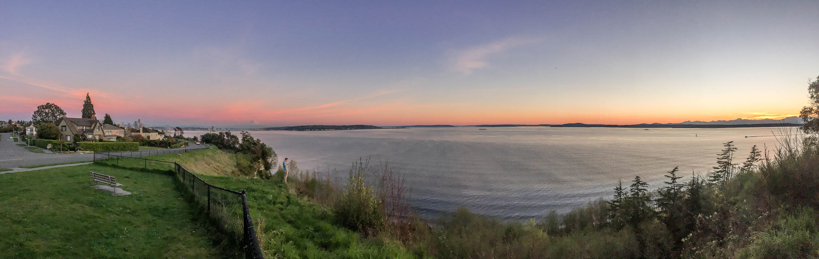
From here, cyclists can either climb up Northward to Discovery Park, or head Southward through the BNSF Hump Yard (yes, that’s actually a thing), before connecting with the Elliot Bay Trail that snakes along the waterfront through Centennial, Myrtle Edwards, and Olympic Sculpture Parks, with some of both the most easily accessible and best views of the Puget Sound toward Bainbridge Island and the Olympics.
Magnolia Bluffs (6mi)
For those wanting a little bit more of a challenge, and even more striking views of the sound, turning North at Gilman Ave leads to an invigorating climb up Government Way and Washington Ave. to the old Officer’s Housing and Parade Grounds of Fort Lawton, now Discovery Park. Continuing around the west side of the parade grounds and exiting the park to the south puts riders onto Magnolia Blvd, a winding road overlooking the Magnolia Bluffs, with beautiful views toward the sound, and on a clear day Mt. Rainier will leap out toward the Southern tip of the loop at Magnolia Blvd Viewpoint. Experienced riders going eastbound can descend at traffic speeds down the Magnolia Bridge and rejoin the Elliot Bay Trail via a pedestrian overpass half a block south of the Elliot Ave offramp, though for safety’s sake I’ve only included the much more comfortable option down Thorndyke Ave, using the less steep grade that includes a dedicated bike lane.
Myrtle Edwards to SLU (1.7mi)
While the waterfront itself is a wonderful ride, getting from the waterfront eastward through the city can be a bit stressful. Taking the pedestrian overpass from Myrtle Edwards Park to Harrison Street, then up to the nice new Bike Trail along Mercer is about as nice an experience as you can have going west-east on Lower Queen Anne.
Waterfront to Lake WA to UW via I-90 Trail (11mi)
To get from the Seattle Waterfront to Lake Washington, there are a number of options, all requiring varying degrees of hill-climbing. The option I’ve highlighted here is one of the flatter, more protected options, though navigating Alaskan Way while construction on the seawall and viaduct replacement continue is certainly for the more seasoned cyclists. The Elliot Bay Trail continues along the Northeast side of Alaskan Way just after Bell Street, and though it is a mixed-use path that gets a lot of pedestrian tourist traffic, I’d certainly recommend it over the rest of Alaskan where traffic and bikes mix with ever-changing construction setups.
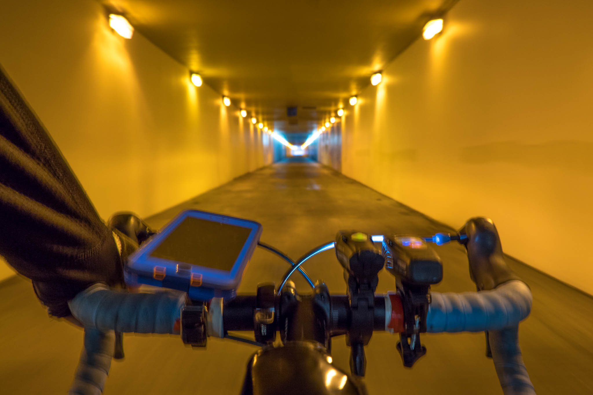
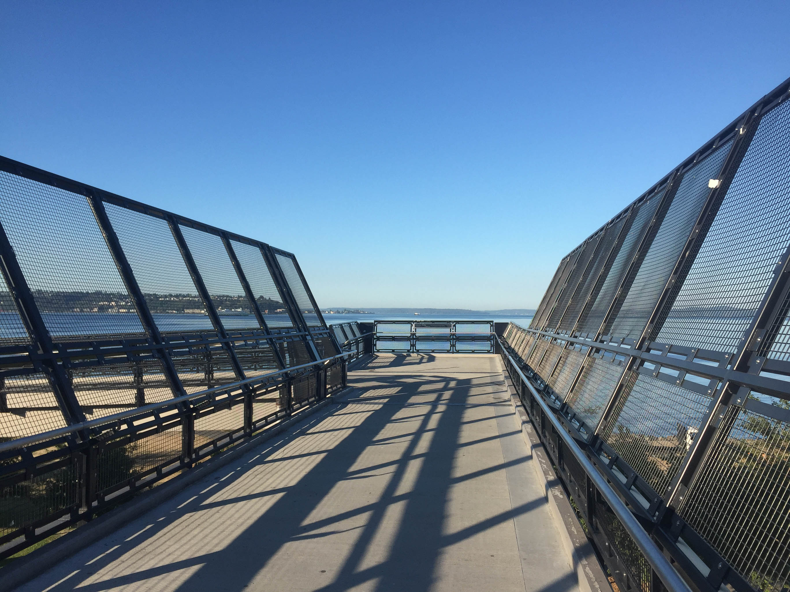
After making it through the gauntlet of Alaskan Way, head east along either Yesler to 2nd Ave, or wait to take Jackson directly. There is a slow climb up Jackson with good sharrow-marked bike awareness, if not a full lane, then take a right on 12th Ave to one of my favorite views in the city, José Rizal Bridge. From here, the I-90 trail parallels the freeway and crosses 23rd and MLK Ave to take riders to the most involved pieces of bike infrastructure in the city, the I-90 bike tunnel, sharing the bore through the hill above that the freeway itself uses, and the trail across the I-90 floating bridge beyond.

From here, taking a quick and steep climb from the exit of the bike tunnel to Lake Washington Blvd, riders can join up with the Lake WA Loop in either direction — I’ve highlighted the route back to the University of Washington through the arboretum here.
Interlaken Blvd
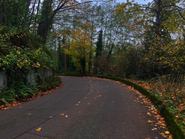
For a change of scenery, or perhaps to make a loop from UW through the Arboretum without continuing miles along lake WA, heading southwest on Madison just a few blocks from the southern tip of the Arboretum and connecting with 26th Ave E takes a back way around the arboretum and connects with a portion of Interlaken Blvd that’s been closed to car traffic, winding through the forested Interlaken Park. After a bit, the road joins with a portion that is still open to car traffic, though is low-traffic and frequently traveled by cyclists and pedestrians, due to lack of sidewalks. Finally, the road empties across the 520 bridge to connect with Roanoke, allowing for access North down Harvard to the University Bridge, or South along Boylston or 10th toward Capitol Hill.
12th & Jackson to University Bridge
12th Avenue is perhaps the best route to take for climbing up and over Capitol Hill for commuting, with a long, uninterrupted bike lane all the way from Jackson to Aloha. However, for a somewhat more scenic ride northbound, or a more pleasant climb from the University Bridge, Lakeview Blvd and Melrose (connected by the Melrose Trail at the end of the dead-end road just past the flyover to REI) provide views to the West of Lake Union and the Space Needle from across I-5.
RWGPS Routes:
- Basic Loop (7mi, 237′ elevation) [RWGPS]
- Basic Loop + Elliot Bay (13.2mi, 982′ elevation) [RWGPS]
- Basic Loop + Magnolia + Elliot Bay (18.1 mi, 927′ elevation) [RWGPS]
- Basic Loop + Magnolia + Elliot Bay + Capitol Hill (20.1mi, 989′ elevation) [RWGPS]
- Magnolia + Elliot Bay Trail + I-90 to Lake WA (23.4mi, 1,193′ elevation) [RWGPS]
[slickr-flickr search=”sets” set=”72157688257188901″ items=”50″]